
 admin
admin
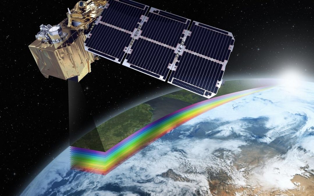
Satellite imagery has revolutionized our understanding of the Earth, allowing us to observe and analyze various features from above. Among the most impressive advancements in satellite technology is the 30 cm resolution imagery, which provides an unparalleled level of detail. With such high-resolution images, we can observe buildings, ships docked at ports, vegetation, and even vehicles on the roads with remarkable clarity. This article delves into what 30 cm resolution imagery can reveal and highlights the capabilities of Playa Dez Neo satellite imagery.
What Can 30 cm Resolution Imagery Reveal?
A satellite image with a resolution of 30 cm means that each pixel represents a 30 cm x 30 cm area on the ground. This level of detail allows for a range of applications, including:
- Sharp Building Detection: With 30 cm resolution, we can easily identify individual buildings, their shapes, and even their heights in urban areas.
- Port Activity Monitoring: The imagery enables us to see ships docked at ports, facilitating maritime traffic analysis and port management.
- Vegetation Analysis: This resolution allows for detailed observation of vegetation types, health, and distribution, which is essential for ecological studies and conservation efforts.
- Traffic Monitoring: The clarity of the imagery allows for the identification of vehicles on the roads, aiding in traffic flow analysis and urban planning.
In the current landscape of remote sensing, 30 cm resolution imagery is one of the highest available, providing crucial insights into our environment that were previously unattainable.
Playa Dez Neo: A Leader in High-Resolution Satellite Imagery
One of the standout satellites providing 30 cm resolution imagery is Playa Dez Neo. This satellite is capable of capturing the same area on Earth at least twice a day, ensuring that the data remains current and relevant. With the ability to cover up to 2 million square kilometers daily, Playa Dez Neo is an invaluable tool for geospatial analysis across various fields.
Applications of Playa Dez Neo Imagery:
- Forestry: In the forestry sector, Playa Dez Neo imagery is utilized for analyzing protected forests. It helps in monitoring forest cover, identifying deforestation activities, and managing conservation efforts.
- Agriculture: For agricultural purposes, this high-resolution imagery supports detailed agricultural analysis. Farmers and agricultural planners can assess crop health, land use changes, and optimize resource management.
- Marine Analysis: In the marine domain, Playa Dez Neo imagery can be employed for bathymetric analysis using its blue band. This information is critical for marine navigation, resource management, and environmental monitoring.
Accessibility and Cost-Effectiveness
Access to Playa Dez Neo imagery has been made easier this month, with the ability to acquire images covering an area of 25 kilometers for a price equivalent to 10 million units of currency. This accessibility allows various sectors, including government agencies, researchers, and private companies, to harness high-resolution satellite data for their projects without incurring exorbitant costs.
Conclusion
The advancements in satellite imagery, particularly with 30 cm resolution, mark a significant leap forward in our ability to analyze and understand the Earth. The Playa Dez Neo satellite stands out as a leader in providing detailed imagery that supports a wide range of applications, from forestry and agriculture to marine analysis. As access to this high-resolution data becomes more widespread and cost-effective, the potential for enhanced geospatial analysis and informed decision-making will only continue to grow, benefiting various sectors and contributing to a more sustainable future.
Popular Posts



Categories

Comments